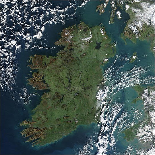

Ireland is located between 5º and 10º west in longitude, and 51º to 55º north in latitude. Its geography can often be compared to that of a saucer; the large low-lying plains in the middle are surrounded by many low coastal mountains, most of them not more than 1,000 metres high (3,000 feet). The island is also home to many freshwater lakes, the biggest of which is Lough Neagh, in Northern Ireland.
The island is divided into 32 counties, six of these are in Northern Ireland, and 26 are in the Republic. There are also 4 provinces; Ulster (North), Leinster (East), Connaught (West), and Munster (South).
The climate in Ireland is very temperate, and often influenced by the North Atlantic Drift. This current makes the island much warmer than other places of its latitude, like Newfoundland. The temperatures in summer rarely rise above 22º Celsius (72º Fahrenheit) and below -3º Celsius (27º Fahrenheit) in winter. The island has a particularily wet climate, but long spells of sun are not unheard of. In winter, snow can fall at any time between October or April, but these are usually restricted to a few days at a time, and most will not lie on the warmer south and west coasts. This makes the island's weather pleasant and not too extreme. The only extreme threat that arises is wind, and gales around wintertime often become commonplace during wet weather.
No comments:
Post a Comment